One of the little known areas of Capitol Reef Nat’l Park, and rarely traveled areas is Cathedral Valley. It’s an area that is off the beaten path and requires a river crossing of the Fremont River for the most common entry point into the valley.
Late October in Utah brings a lot of people out to southern Utah. Some for the fall hunt, and many take advantage of the great fall weather usually found during this time of year. We were taking advantage of the great weather and the annual fall break in our school district.
We arrived in Capitol Reef late in the early afternoon on a Thursday. We decided to try and get a campsite in the park, only to find the campground was already full. We went to the Visitor’s Center and talked with the rangers and they gave us some ideas of places to camp in locations outside the park.
One of the areas they suggested was just south of Hwy 24 and the Notom – Bullfrog Road. The other place suggested was back towards Bicknell at the Sunglow Campground in the Fishlake National Forest.
We also asked about the river crossing and other information we needed to know about for our trip into Cathedral Valley. There seemed to be a lot of water running in the Fremont River near the campground, but the ranger said there shouldn’t be too much to cross with a stock 4X4 pick up. He said to just make sure you in 4 wheel drive and keep your momentum up when turning left out of the river on the north side.
Before leaving the Visitor’s Center we also purchased the “Self Guided Auto Tour” for $2. It’s a nice addition to any other maps or guides you might already have. After leaving the Visitor’s Center we decided to try Sunglow Campground.
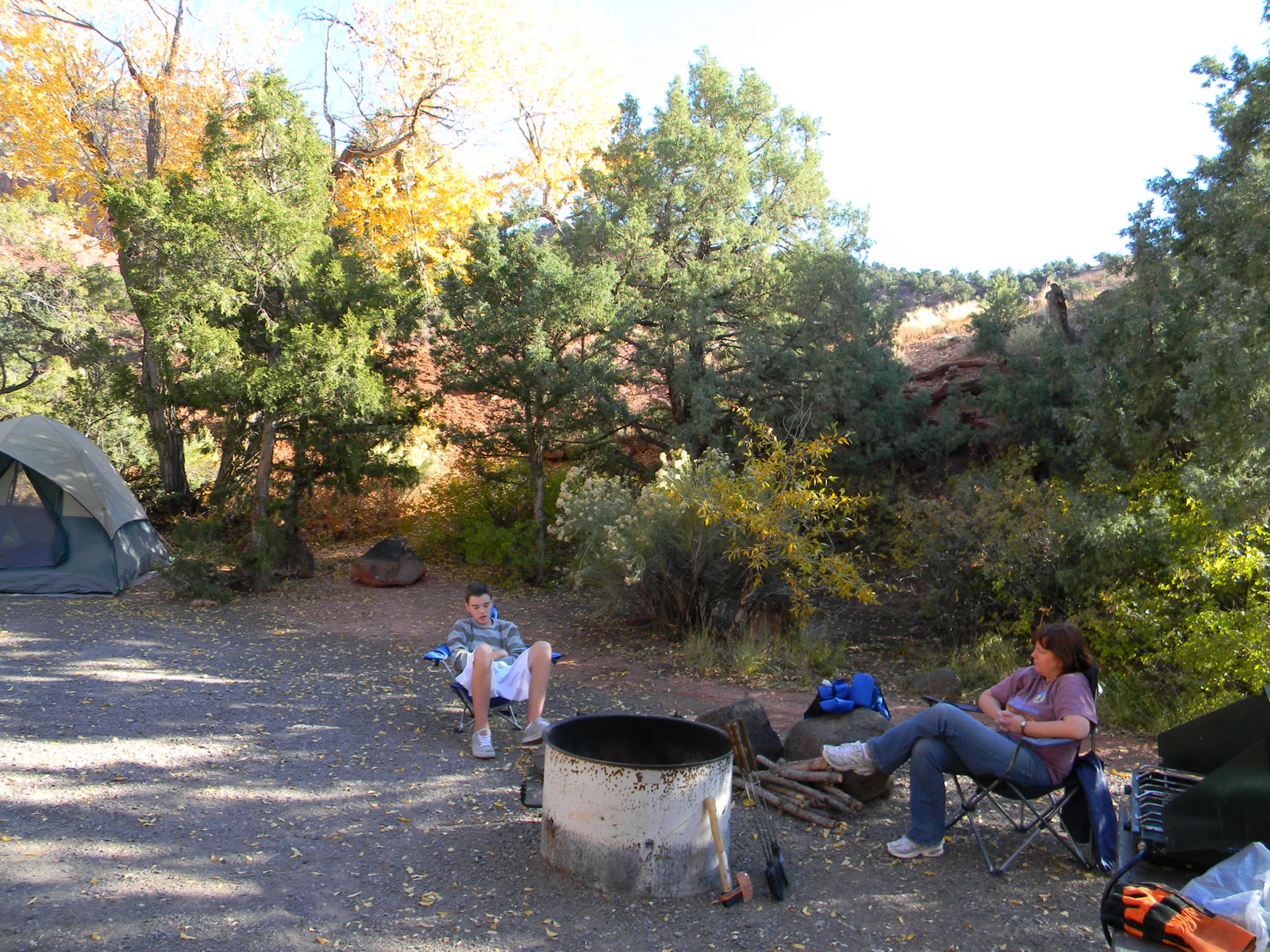
Sunglow is about 18 miles west of the nat’l park just outside of Bicknell and has 9 sites with water and flush toilets. It sits between two small canyons and has some very nice sites. We enjoyed camping there and felt it was actually much better than the very crowed nat’l park campground. We enjoyed a short hike up the south canyon prior to fixing dinner.
On Friday morning we skipped the Visitor’s Center and headed right to the river crossing at the east end of the park. The river ford is about 12 miles east of the Visitor’s Center and crosses some private land so be careful to follow the main dirt road paralleling Hwy 24 until the road splits and the right hand road goes uphill. Don’t head uphill back towards Hwy 24. Instead you take the left track and that will get you to the river crossing.
If I hadn’t talk to the ranger the day before, I would have thought the river was too deep to cross. But he assured us the riverbed was solid and easy to ford as long as we stayed on the right side of the river until reaching the exit point. We did just that and had no trouble making the crossing. The ranger figured the depth of the Fremont was probably around 12 to 14 inches.
At this point it’s convenient to reset the odometer and track the mileage from zero.
The first point of interest is just around Mile 7. There is a spring and a water tank. There is also an abandoned truck that appears to have sunk into the soft dirt. It seems to be the only sign of life in that area with lots of tamarisk being the only green for miles.
Not far from the spring we started to work our way through the Bentonite Hills at approximately Mile 8.5. The colors of the hills are very interesting and the soil is such that if it were raining it would be impossible to go anywhere, four wheel drive or not.
At about Mile 14 we reached the Spur Road to the Lower South Desert Overlook. Heading south we drove about a mile to the end of the spur to our first trailhead. A short walk took us to a nice overlook of the valley and Jailhouse Rock.
There is a trail that works its way down the cliff to the valley below. At the time I wasn’t sure the trail was a good one, but later that day I was reviewing some of my maps and realized we could have taken it down to Jailhouse Rock. Next trip to Cathedral Valley we’ll make sure we’re ready for a longer hike than just to the overlook.
The next opportunity is the trailhead to the Lower Valley Overlook. It’s a one-mile cross-country hike to the north. It took us across the creek bed a couple of times and then up a saddle to a really nice overlook of the Temples of the Sun and Moon.
I liked the views from this overlook even better than when were down in the valley the next day. Be careful as there are cliff edges along with the excellent views.
The next spur road is the Upper South Valley Overlook. We were very impressed with the views of the valley looking east towards the Henry Mountains. There is a short trail that will take you to some excellent views. Be very careful here as well as there are some narrow trails along the cliffs also.
The next spur road isn’t much further from the last one and has some excellent views of the northern valley. There is a picnic table and can be a nice place to stop for lunch if it’s not too late in the day.
The next point of interest is the junction of the road that continues up onto Thousand Lake Mountain and the road that continues on the loop through Cathedral Valley. If you find the Cathedral Valley Campground full, the ranger suggested taking this road up into the mountain for numerous at-large camping opportunities. Taking a right turn instead took us to the turn off to the Cathedral Valley Campground.
There are six campsites that are first-come, first served and each one has a table and a fire ring. There is a well-maintained vault toilet, but no water is available. So be sure to bring plenty of water, especially if you plan to camp at the halfway point. Even with the main campground near the Visitor’s Center full on a Thursday night, we only had two other camps being used on the Friday night we stayed there.
I took the opportunity after setting up camp to walk down the road about an 1/8th of mile and enjoyed watching the sun set across the Upper Cathedral Valley.
We had some wind that evening, but enjoyed a nice warm fire and had plenty of room for setting up tents.
In the morning I woke up early enough to watch a brilliant sunrise all the way to the La Sal Mountains in Moab. The lighting was different over the South Valley than the evening sunset, and worth the walk to see the changes.
After breaking camp, we worked our way down into the valley and took the time to stop and walk up to Morrell Cabin. I was surprised to see running water in the creek just before reaching the cabin.
A short drive further down the road is a trailhead that works up on top of the mesa and parallels the cathedrals in that area. It’s a little over a mile walk heading west to the top end of the cathedrals and well worth the hike. I loved the views in-between each of the cathedrals further down into the north valley.
A little further down the road, just as you pass by the cathedrals it’s worth a stop to look at the cathedrals from the opposite side. They look very different and just as spectacular.
As we worked our way east along the road, I was surprised that there weren’t very many more opportunities to view more cathedrals. It seemed that before we knew it, we were turning off to the Gypsum Sinkhole. You may want to slow down and take more time in the section around the Morrell Cabin.
The Gypsum Sinkhole was interesting and bigger than I expected. It’s pretty deep but you can see the bottom as a lot of rock has crumbled in. This is another place to be careful as there is a steep drop off at the edge of the sinkhole.
Next, we enjoyed taking the Lower Cathedral Valley spur road to the Temple of the Sun, Moon, and Stars as well as a really interesting mound called Glass Mountain. Remember that you cannot collect any rocks from the national park and Glass Mountain is a very tempting place to want to take a piece of the mound home.
We stopped for lunch about a mile down the road on a little used spur that looked like it had been used for camping since it’s outside the park on BLM land.
The rest of the trip was interesting but there were no more cathedrals to enjoy. We worked our way through more hills similar to the Bentonite Hills. We also had a couple of climbs in and out of washes before arriving at the junction of Cainville Wash Road and Hwy 24.
One thing that impressed me was the condition of the road on the whole loop. There was little or no washboard. Very smooth and very well maintained. An excellent trip in dry weather and the only need for four wheel drive was to just make sure we could get across the Fremont River. If there was any concern about the river crossing, you could do the trip going the opposite direction and backtrack before reaching the river. I like going the direction of the river crossing first. Then, if for some reason the river rises while being out in Cathedral Valley we’ve already crossed the river and wouldn’t have to double back the way we came.
In any case, be sure to stop by the Visitor’s Center and get the most up-to-date information. This is just a report and not intended to be used as a guide. Be sure to use your own judgement.